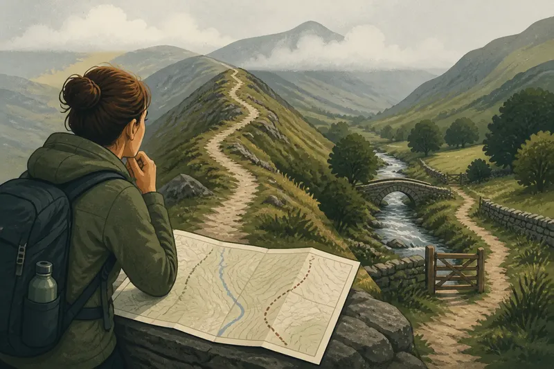
The Map Shortcut That Leads You Past Everything
Choose a map shortcut without missing useful local details: check access, landmarks and the way back before deciding whether the quicker route suits your walk.

You are outside a station, one hand on your phone, while the map offers a straight line to your guesthouse. A map shortcut may save a turn or two, but the line says little about whether the route is open, pleasant or worth the walk. A quick check can help you decide what to trade for directness.
What does a map shortcut leave out?
A map is good at showing connections. It is less dependable as a guide to the feel of a passage, the presence of a public gate or the view from a riverside path. Even a route marked for pedestrians may contain a steep section, a closed entrance or a junction that is awkward to cross.
So treat the suggested line as a starting option, not a verdict. Decide what matters for this particular walk: arriving promptly, avoiding a busy road, seeing a stretch of local shops, or keeping the route easy to retrace. That choice gives you a useful test for any detour.
How can landmarks help you keep your bearings?
Choose a few features that are easy to recognise, such as a church tower, railway arch, bridge or line of trees. They give the route a sequence you can remember without watching the screen at every step.
Use them as checks rather than promises. A tower can disappear behind buildings, and a tree-lined track may turn out to be private. Confirm an uncertain junction with a street sign or your map. A paper map is useful for seeing the wider area; a phone is handy for checking the next turn.
Which details make a detour worth taking?
Look for a clear public entrance, a route that continues in the right direction and an easy way back to the main street. Beyond those basics, a market lane, covered arcade or public path beside a river may make the extra distance feel worthwhile. These are specific features to weigh against your purpose, not a call to inspect every doorway.
Notice practical signs of how a street is used: a marked cycle rack, a shop with its door open, or a public noticeboard. They can help distinguish an active route from a service lane. Keep the distinction modest; a busy shopfront does not establish that every nearby passage is open to the public.
When should you leave the mapped route?
Leave it when a signed public path offers something you want and you can see how it reconnects with your route. Stay on the mapped street if the alternative has no clear exit, requires crossing a barrier or appears to pass through private ground. Follow signs and local access rules rather than treating an inviting gap as permission.
Say you are walking from a station to a guesthouse. For this invented example, assume the mapped route follows a broad road, while a signed pedestrian lane runs alongside it and meets the same next street. You check the sign, see the lane’s exit and choose it to pass the shopfronts without losing your way. If a gate blocks the lane, you turn back to the broad road; the trade-off is a less interesting walk in exchange for a clear, public route.
What should you check before taking a map shortcut?
Is the path open to pedestrians?
Look for pedestrian signs, markings and barriers. If access is clearly permitted, consider the path; if a barrier or private-access sign rules it out, stay on a public street.
Can you see where it leads?
Check for a visible continuation or a recognisable junction at the far end. If the route vanishes behind a fence or building, choose a route with a clear connection instead.
Does the detour suit your reason for walking?
Compare what is visible along the alternative, such as a market lane or riverside path, with your time and energy. If the feature appeals and the route remains straightforward, take it; if direct arrival matters more, keep to the mapped line.
Can you return to the main route?
Identify a recognisable junction or landmark before turning away. If you can use it to rejoin the route, explore; if not, remain on the clearer street.
How can you keep a slower route purposeful?
Give the walk one simple thread: follow the river to a bridge, use a signed lane to reach the market street, or head towards the railway arch. It works like a bookmark: you can wander a little and still know where to pick up the route again.
Before setting off, a short check can settle the choice:
- Observe the access sign at the entrance. If it permits public pedestrian use, consider the route; if it restricts entry, stay on the public street.
- Observe whether the path has an open continuation. If you can see a junction or exit, consider proceeding; if a fence or closed gate blocks it, turn back.
- Observe the direction of the next landmark. If it remains a useful reference, use it to orient yourself; if it disappears and no street sign helps, check the map before continuing.
- Observe the crossing on the alternative route. If there is a clear pedestrian crossing, use it; if crossing would mean stepping into an unsafe or unmarked traffic flow, choose another route.
- Observe what the detour offers, such as a public arcade or market lane. If it suits your purpose and the route reconnects clearly, take it; if not, keep to the mapped line.
- Observe your remaining time and energy. If you can afford a slower walk, explore the public alternative; if you need a direct arrival, follow the more direct route.
On an unhurried walk, a map shortcut is only one option. Use the main phrase, map shortcut, as a prompt to compare what the line offers with what you want from the walk. If the alternative has clear public access, a reason to take it and an obvious way back, you can choose it deliberately rather than following the screen by habit.